Latest blog news

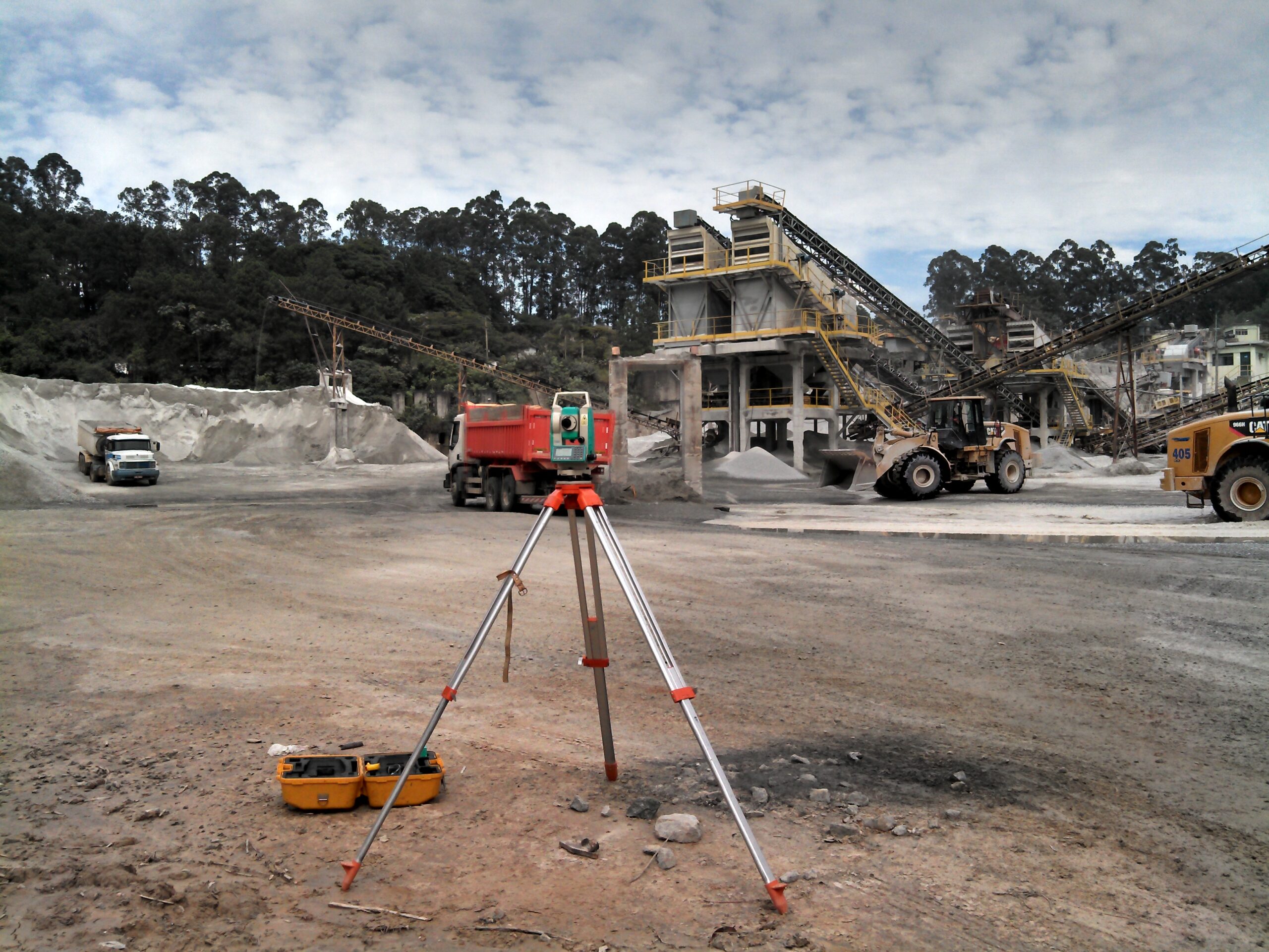
Surveying Services
Topography services are offered by specialized companies and include various activities such as surveys and measurements, consultancy services,

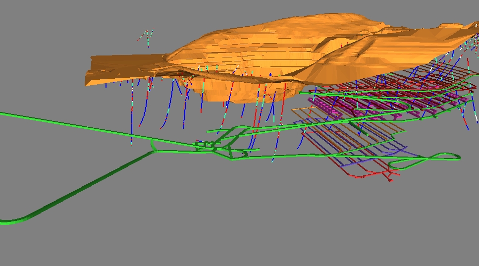
Mine Design and Planning
The design and planning of a mine or mine consists of a set of operations, after the mineral research phase,

Geochemical modeling
The geochemical and mineralogical model is adopted in the oil and gas industry, aiming to provide a representation of the petrochemical parameters

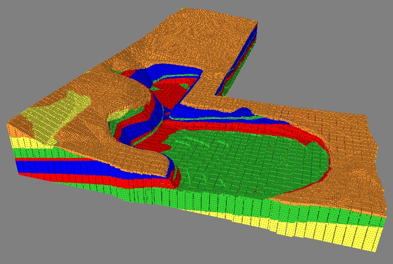
Geological Modeling
A Modelagem Geológica consiste na representação digital 3D de rochas, suas estruturas e diversos tipos de dados coletados pelos geólogos

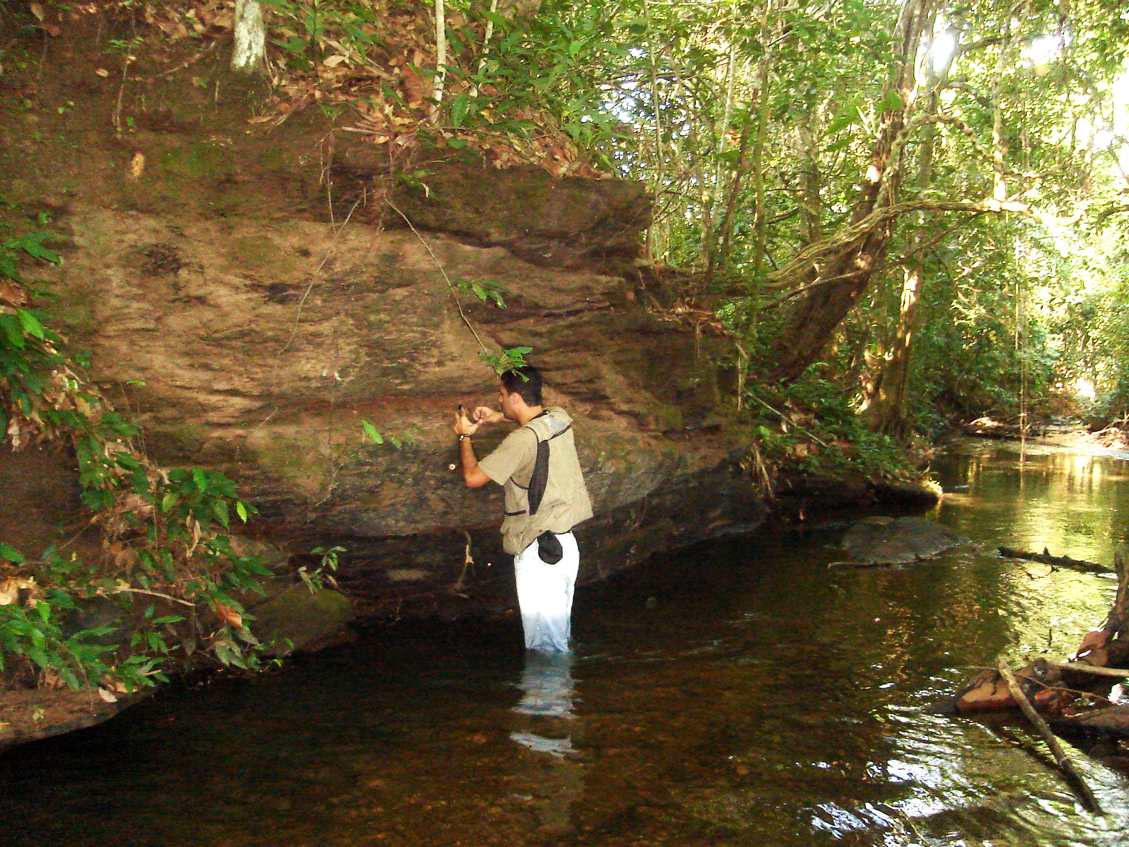
Geotechnical Mapping
Geotechnical mapping ranges from the action to the recording of objective geological observations, in the middle of the field. To the
Post suggestion:

Geological Modeling
A Modelagem Geológica consiste na representação digital 3D de rochas, suas estruturas e diversos tipos de dados coletados pelos geólogos

Mine Design and Planning
The design and planning of a mine or mine consists of a set of operations, after the mineral research phase,

Geotechnical Mapping
Geotechnical mapping ranges from the action to the recording of objective geological observations, in the middle of the field. To the

