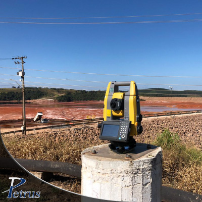
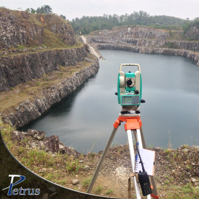
Topografia de minas, cavas, pilhas de minério, estéril, etc.;
Implantation of geodetic frames;
Georreferenciamento de Imóveis Rurais, padrão INCRA;
Locação de poligonais ANM para imissão de posse de jazidas minerais;
Levantamentos topográficos diversos em áreas urbanas e industriais;
Nivelamento, balanceamento, inclinação, recalque e paralelismo de pilares, vigas, estruturas civis e mecânicas;
Levantamentos Topográficos de alta precisão com Drone e Estação Robótica;
Mapeamento LiDAR de áreas complexas, vegetadas ou de difícil acesso;
Modelagem 3D e cálculo de volumes;
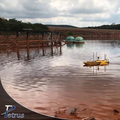
Monitoramento de barragens e estruturas;
Execução de Batimetria tripulada e não tripulada.