Geological Modeling consists of the 3D digital representation of rocks, their structures and various types of data collected by geologists in the field.
These data originate from different factors such as in relation to the ore grade, geophysical analysis aimed at prospecting for metallic minerals, observation and measurement of faults found in the field, etc.
It is important to pay attention to the correct insertion of data into the system and to make sure that you are selecting the correct model to process this information and generate the modeling of the rock strata.
After everything is in order, the geologist will be able to obtain different types of results, such as the location of an ore, its limits, its characteristics (such as quantity and grade) and information about the environment where it was found.
From these results, the professional will assess whether it is economically worthwhile to invest in this venture. If ore extraction is chosen, modeling will be useful to determine where and at what depth the procedure will be performed.
Data entry
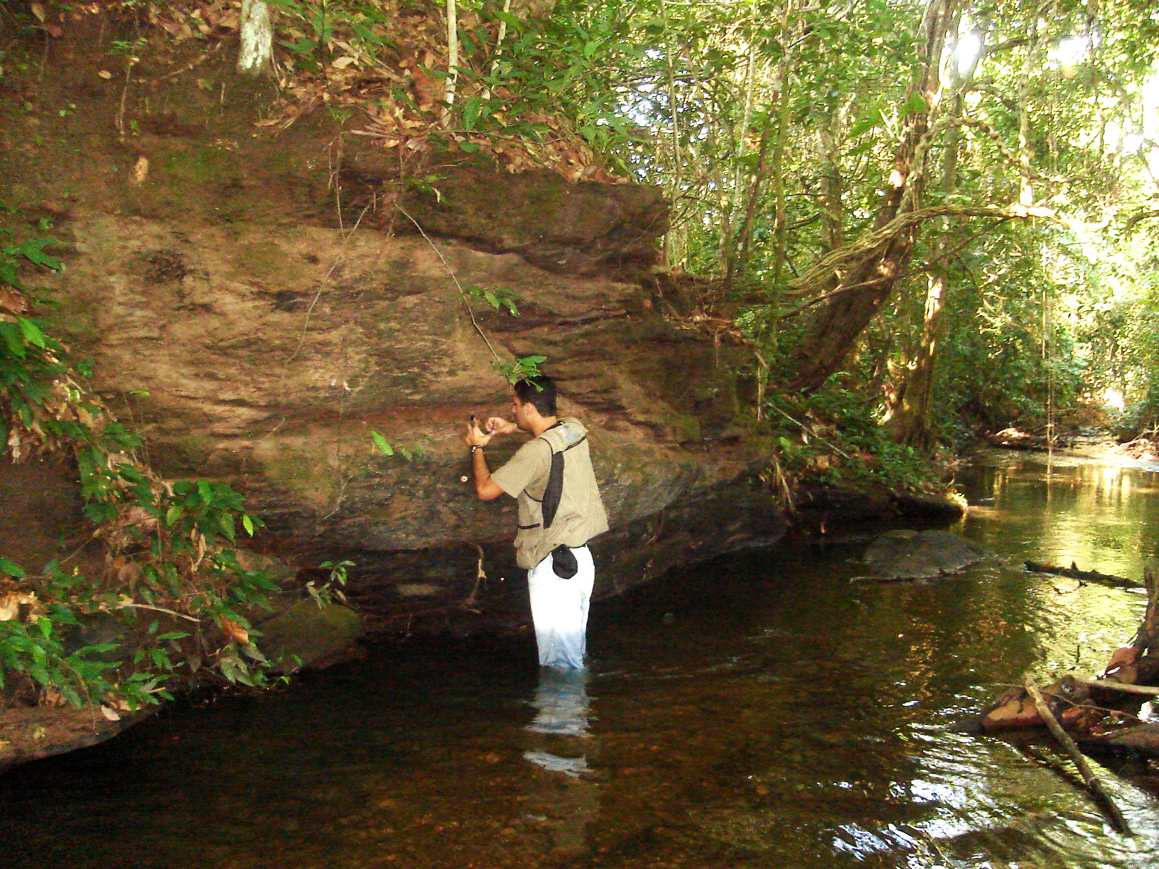
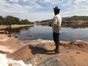
Some examples of past procedures where such data can be collected are geological and trench mapping, geophysical testing, and rotary sounding.
Geological mapping will detect whether the area has mineralizations or ores and the faults in place, as well as obtain details about the geology. The mapping of trenches serves to obtain the precise measurement of depth, in cases of supergenic ores.
Geophysical tests consist of detecting possible anomalies in the locality. From this, it is also possible to determine the sounding points. The next step is the rotary sounding, which will also determine the depth of the points where there is presence of ores and describe their characteristics after collecting samples.
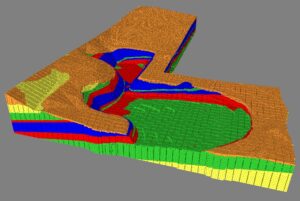
Mapping results
With the data collected in the boreholes and the study of the local topography, it is possible to define a geological model and generate the first images.
In an example of a geological model where distinct lithological layers and a scheme of intercrossed veins are represented, the entrepreneur will be able to understand more precisely the location of the researched ore, if it is present with concentration in such veins. In addition, it would be possible to determine the depths and choose the location that should be investigated in mineral research.
Among the benefits that can be obtained with the adoption of geological mapping are the saving of time and financial resources and the definition of a surface of interest in the locality, where the mineral prospecting procedure will be carried out.
It is also possible to make a connection with other types of data, for example, geological data, in order to acquire a spatial visualization of the surface properties and a better interpretation of the results.
Final considerations
Therefore, 3D geological modeling is a fundamental part of mineral research, as it enables greater understanding of the location where the procedure will be carried out and the characteristics of the ore to be extracted, in addition to offering a more accurate and detailed estimate of the previously mentioned parameters.
This procedure also offers the advantage of flexibility, as it can be carried out continuously, that is, it can be adopted even if the mining activity has already started.
In this case, geological modeling may contribute to finding the main mineral extraction points, mine planning (whether in the short or long term), the detection of new locations where it is possible to find the ore, and the detection of points that concentrate ores with higher content (for this, data from a chemical analysis must be provided previously).