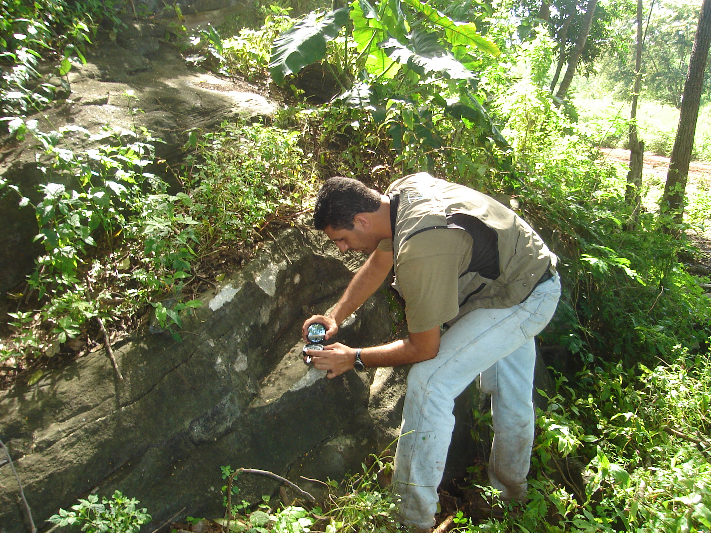
Geological Mapping What is it?
Geological mapping is a type of survey carried out by professionals to investigate rocks located in established areas and the
Geological Mapping What is it?
Geological mapping is a type of survey carried out by professionals to investigate rocks located in established areas and the

What is Environmental Monitoring?
Environmental Monitoring is a technique used to control the effects of the environment. It includes a set of processes
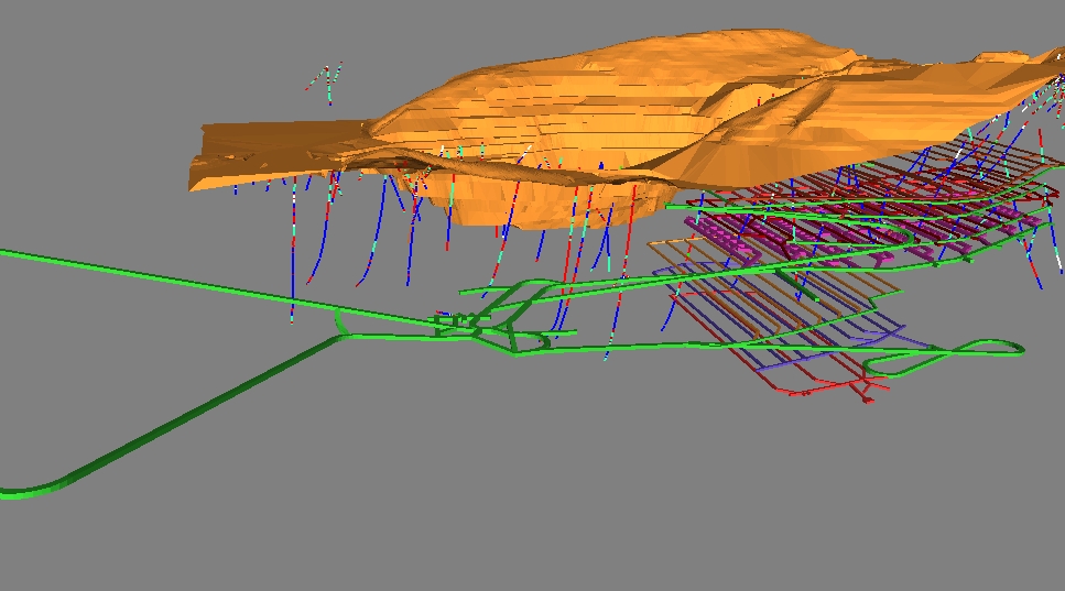
Mine Design and Planning
The design and planning of a mine or mine consists of a set of operations, after the mineral research phase,