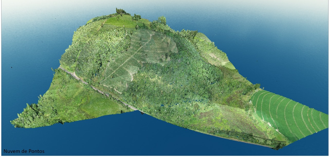
Topografia com Drone: Uma Revolução na Coleta de Dados Geoespaciais
Topografia com drone: mapeamento preciso e eficiente Sabia que a topografia tradicional anda sendo deixada para trás pelo uso dos

Sistema LiDAR: A Revolução na Coleta de Dados Geoespaciais
Descubra como o sistema LiDAR está transformando a coleta de dados geoespaciais, de mapeamento topográfico a estudos ambientais. Saiba tudo

What is Environmental Monitoring?
Environmental Monitoring is a technique used to control the effects of the environment. It includes a set of processes
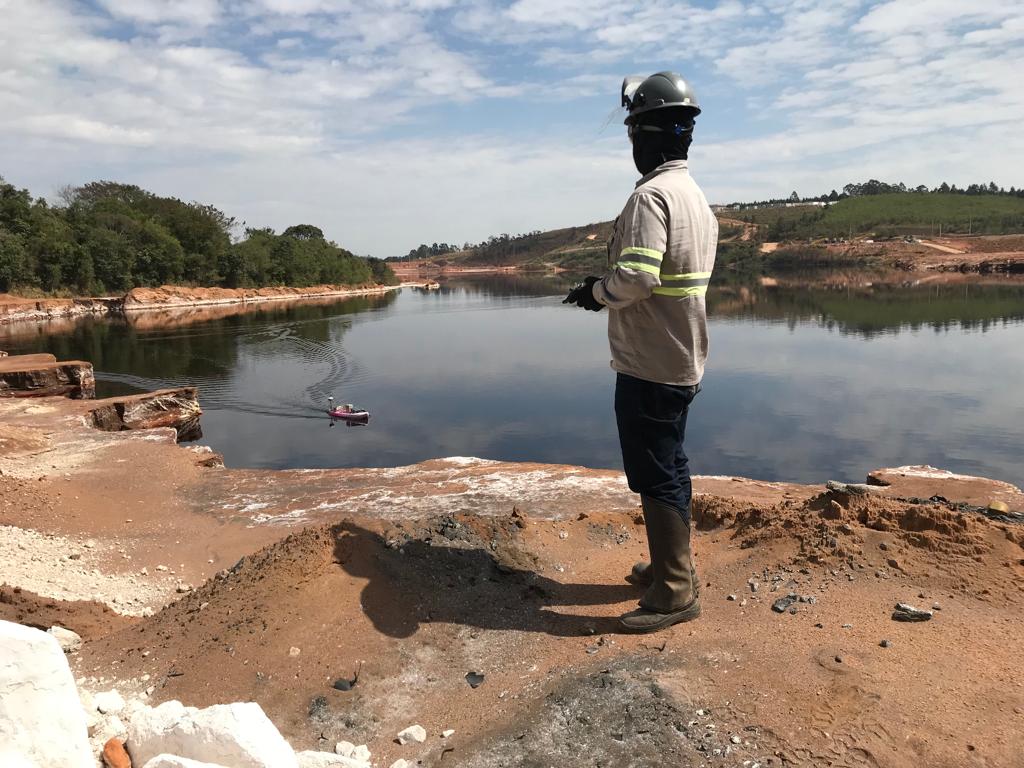
What is bathymetry?
Bathymetry is the study and analysis of underwater topography, including rivers, lakes and other bodies of water. to accomplish this
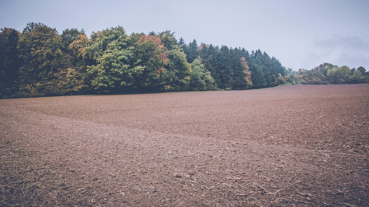
What is earthworks and drainage?
Terraplaning is the removal or placement of earth to level a land. Before earthmoving, the land needs to be
What is bathymetry?
Bathymetry is the study and analysis of underwater topography, including rivers, lakes and other bodies of water. to accomplish this
Sistema LiDAR: A Revolução na Coleta de Dados Geoespaciais
Descubra como o sistema LiDAR está transformando a coleta de dados geoespaciais, de mapeamento topográfico a estudos ambientais. Saiba tudo
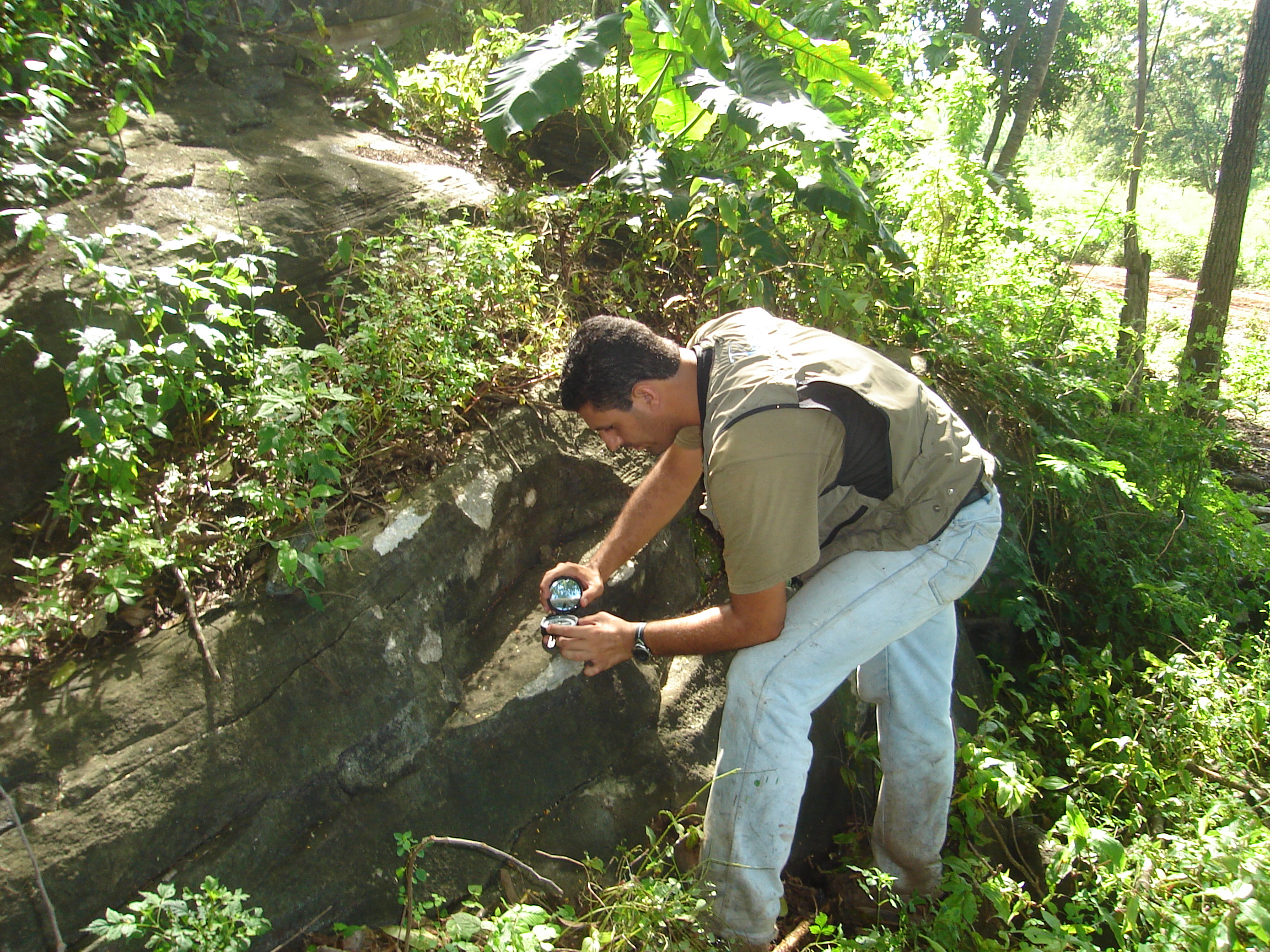
Geological Mapping What is it?
Geological mapping is a type of survey carried out by professionals to investigate rocks located in established areas and the